
Take Saddle Road: it crosses the middle of the island from Kona to Hilo in about an hour and a half. Drive the northern route through Waimea and down the Hāmākua coast when you want stops on the way, and the southern route when Hawaiʻi Volcanoes National Park is part of the day.
You make the crossing either to move between a Kona base and a Hilo base, as our seven-day itinerary has you do mid-trip, or to spend a day on the other side and drive back. All three roads are paved two-lane highways, and a standard rental car is fine on each.
Table of contents
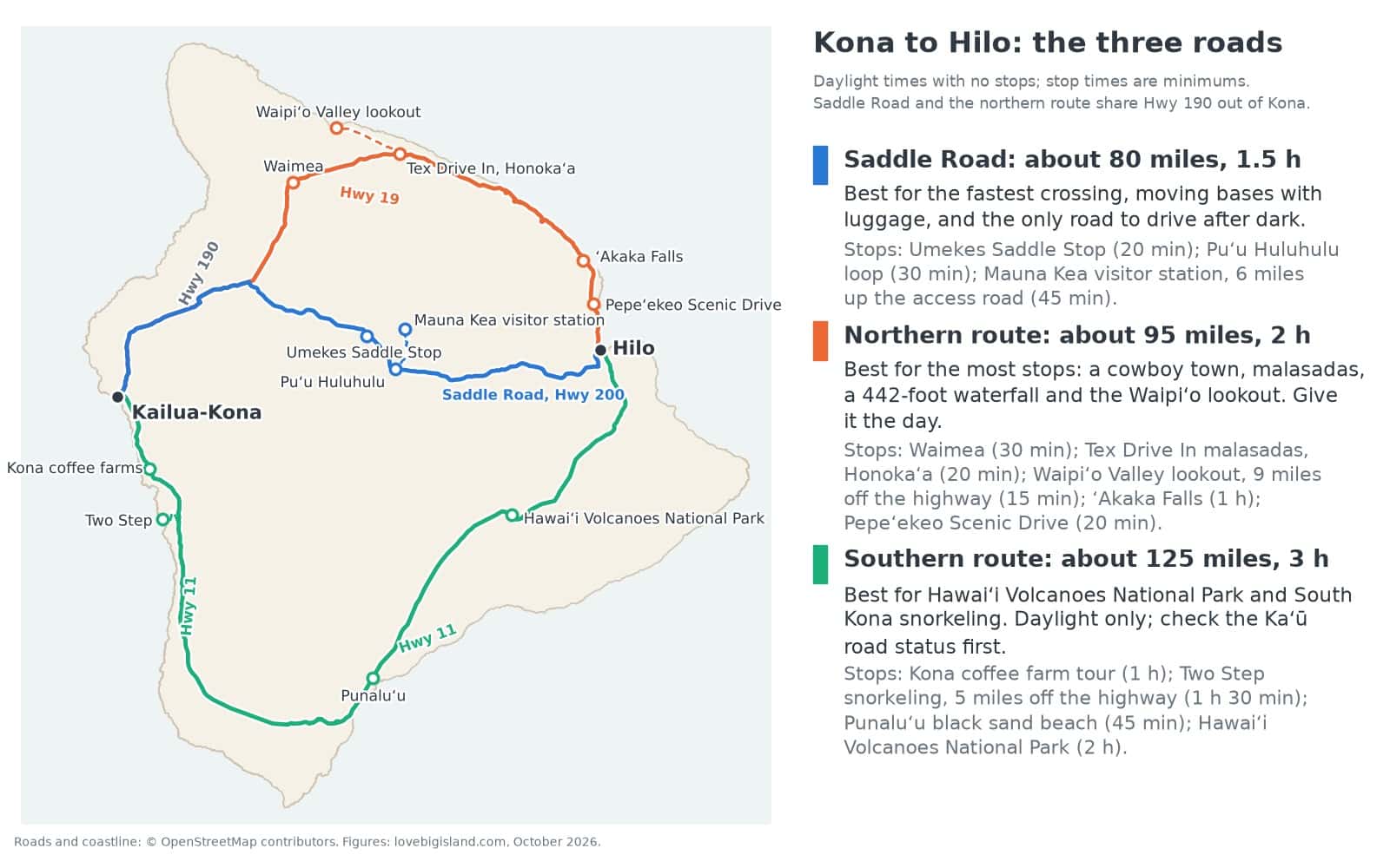
The three roads between Kona and Hilo: Saddle Road, about 80 miles and 1.5 hours; the northern route through Waimea and down the Hāmākua coast, about 95 miles and 2 hours; the southern route past Hawaiʻi Volcanoes National Park, about 125 miles and 3 hours. Times are for daylight with no stops; the stop times on the cards are minimums.
Saddle Road: the fastest crossing
Saddle Road, officially the Daniel K. Inouye Highway (Highway 200), runs about 80 miles from Kona to Hilo, an hour and a half without stops. It crosses the saddle between Mauna Kea and Mauna Loa above 6,000 feet, where the air turns cold and fog and low cloud close in. Feral goats wander onto the pavement, mostly on the lower slopes toward Kona, with a few on the flat.
It is the quickest of the three roads, so take it to move bases or to cross after dark. Umekes Saddle Stop, in the park building at the Gilbert Kahele Recreation Area, sells the only food on the road, with a playground beside the building and restrooms a short walk away. Gerrit stops there on most crossings.
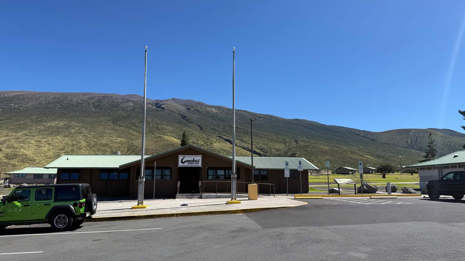
Umekes is where we stop on most crossings; it has been open on every pass since late September 2026. The Umekes Saddle Stop, in the park building at the Gilbert Kahele Recreation Area on Saddle Road, sells poke bowls, bentos, snacks and coffee.
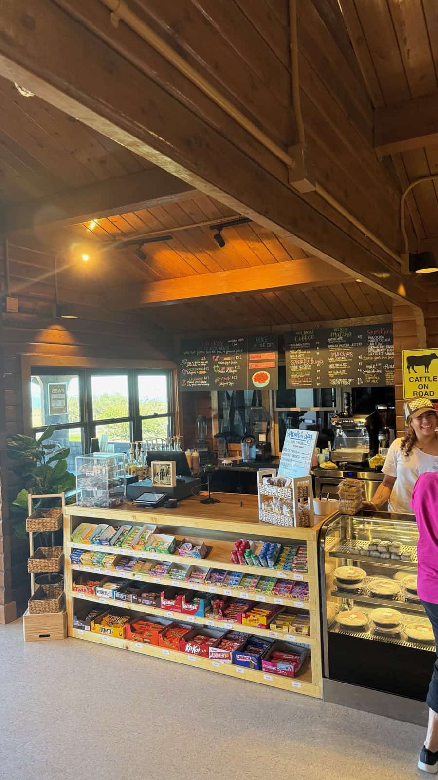
Inside the Umekes Saddle Stop: poke of the day, bowls and bentos on the boards, coffee and smoothies at the counter.
Across the highway from the Mauna Kea Access Road, the loop trail on the Puʻu Huluhulu cinder cone is a half-hour leg-stretch. You can drive a standard car six miles up the access road to the Mauna Kea visitor station, and our stargazing guide explains why you see more stars there than at the summit.
The northern route: Waimea and the Hāmākua coast
From Kailua-Kona you reach Waimea inland on Highway 190 or along the Kohala coast on Highway 19. From Waimea, Highway 19 drops down the Hāmākua coast to Hilo on the windward side, crossing one gulch after another through passing showers, with patchy cell signal. The whole route is about 95 miles and two hours without stops, and it has more places to stop than either other road: give it the day.
Waimea, the island’s paniolo (cowboy) town, sits at about 2,500 feet, cooler and greener than the coast. At Honokaʻa, turn off for the free Waipiʻo Valley lookout, a nine-mile detour, where the lot has restrooms and fills by mid-morning on weekends. Our Waipiʻo Valley guide explains the shuttle tours and access rules for the valley floor.
Above Honomū, ʻAkaka Falls drops 442 feet, seen from a short paved loop. Just north of Hilo, the Pepeʻekeo Scenic Drive is a 20-minute detour through rainforest at Onomea Bay, and our scenic drives page describes it with four other side roads. Our Hāmākua coast guide goes stop by stop from Hilo to Waipiʻo.
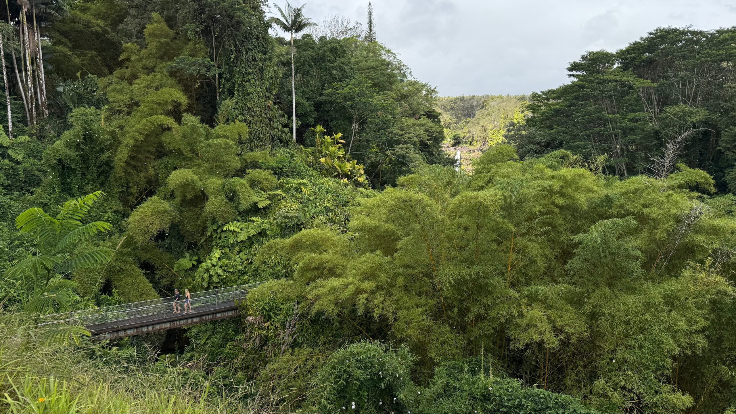
he view from the parking lot: ʻAkaka Falls in the distance, with the loop trail’s return bridge at lower left. It shows how short the walk really is.
The southern route: South Kona, Kaʻū and the volcano
Highway 11 runs south through the coffee farms of South Kona around Kealakekua and Captain Cook, a winding stretch with no street lights, so drive it in daylight. Farther south it crosses the open ranch and lava land of Kaʻū to Punaluʻu, then climbs to Volcano and the national park before dropping to Hilo. At about 125 miles and close to three hours without stops, it’s the longest crossing. Build the day around the park or a South Kona snorkel.
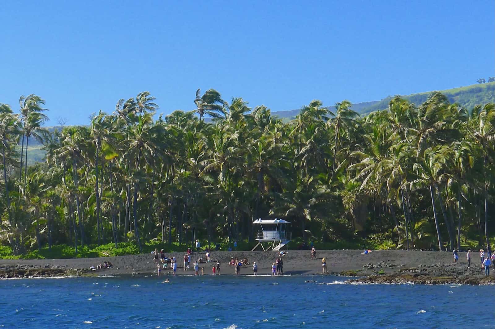
The coconut grove is the marker you pick out first from the water, with the Kaʻū hills rising behind it.
Our Kona coffee map shows which of its 15 farms are free to visit. At Kealakekua Bay, the Nāpōʻopoʻo lot fills early, so arrive by 8 a.m. for a space. Puʻuhonua o Hōnaunau, the place of refuge, is a national historical park. Two Step, the shore-entry snorkel spot beside it, ranks among the island’s three best in our snorkeling guide.
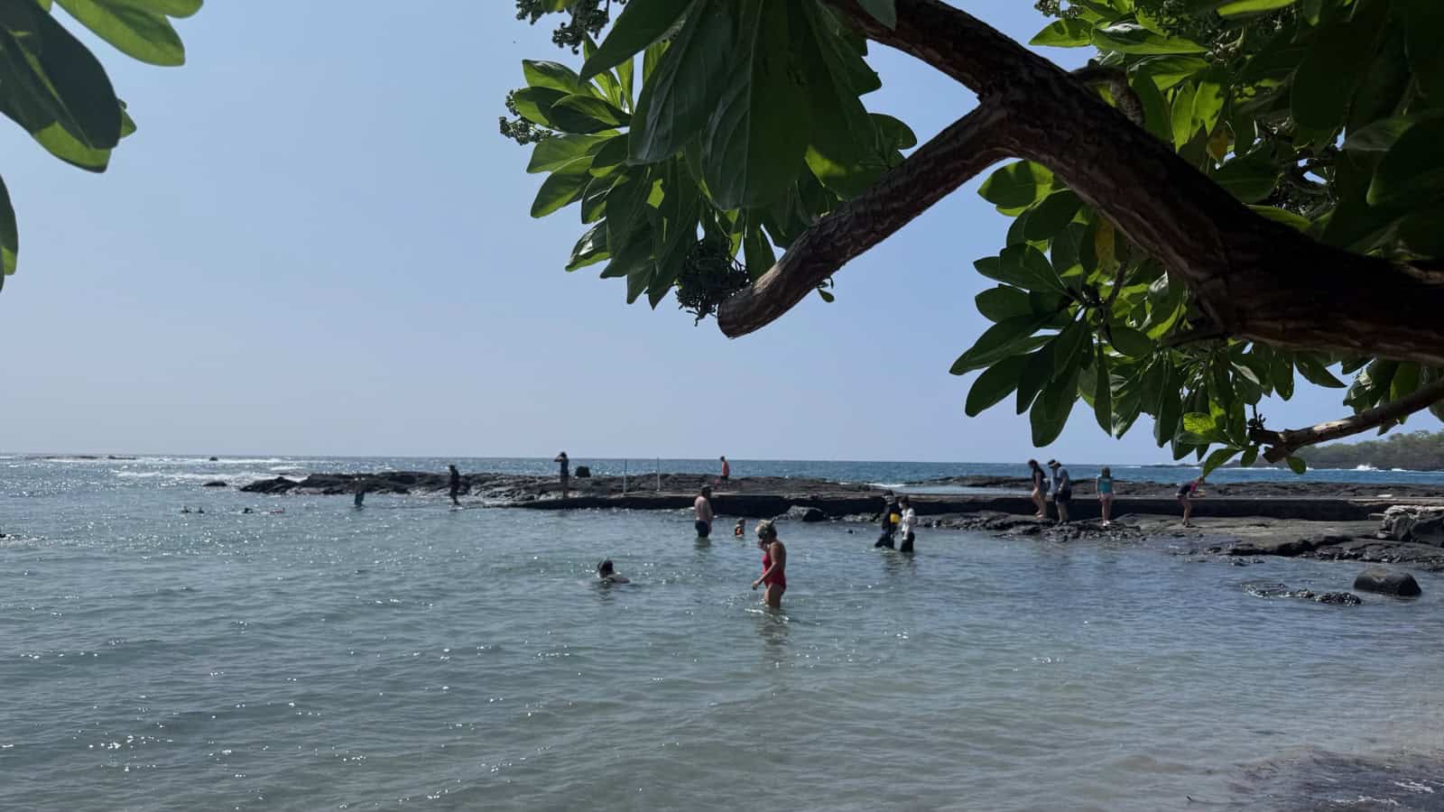
The small beach to the left of the Two Step lava shelf: the way in on a day when surf is breaking over the shelf, as it was this September afternoon.
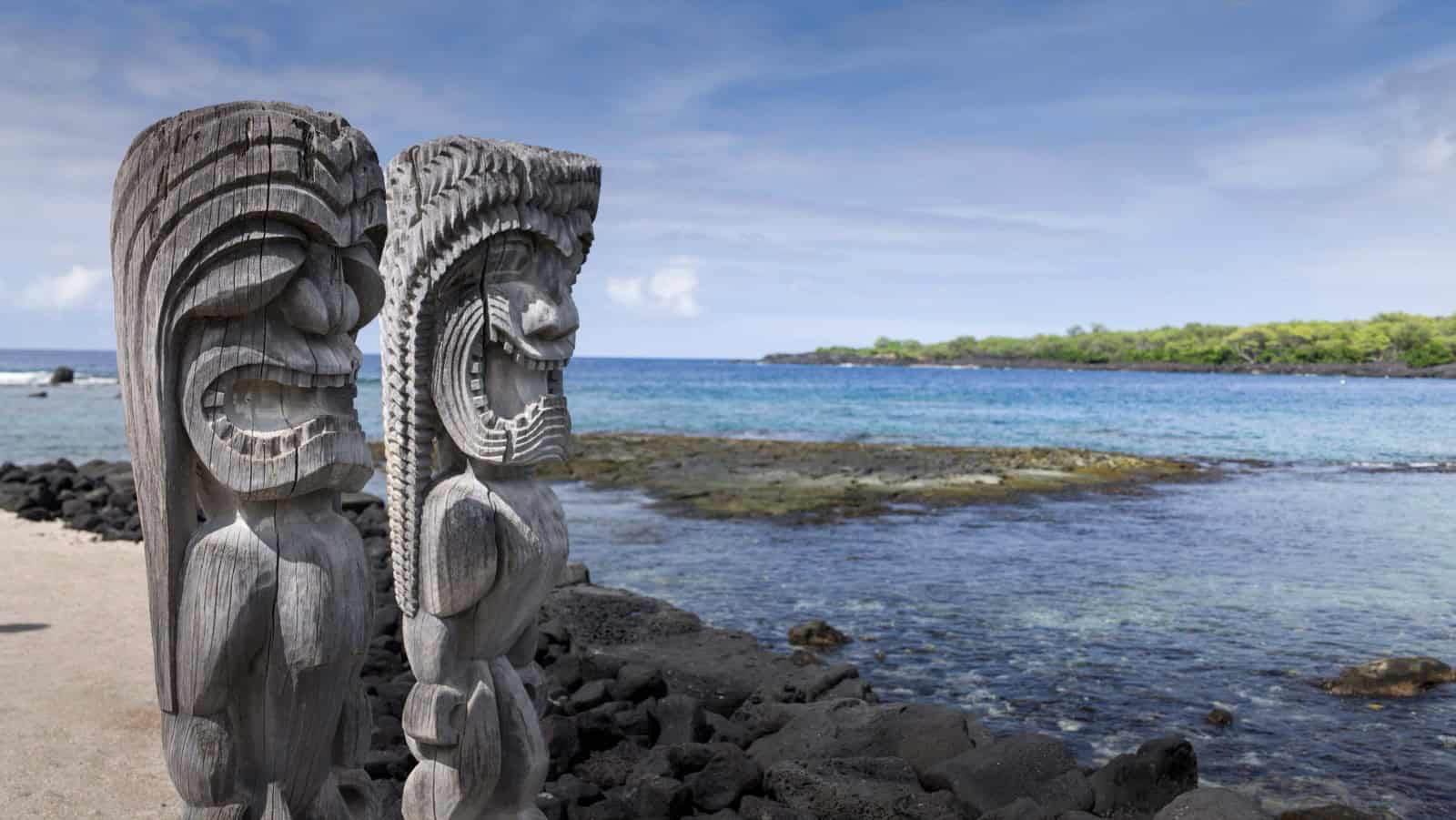
The park’s self-guided walking route passes these kiʻi on the shoreline beside Hale o Keawe. Image credit: Peter Schat.
Green sea turtles bask on the black sand at Punaluʻu. Give Hawaiʻi Volcanoes National Park two hours for the overlooks as a drive-through stop, or a day of its own for the rest. Volcano Village sits at the park gate, about 45 minutes from Hilo on Highway 11.
Where to eat on the drive
On Saddle Road, Umekes Saddle Stop is the only place to eat. Waimea, on the northern route, has plenty of good places, Big Island Brewhaus and Fish and the Hog among them. Tex Drive In in Honokaʻa is our stop for malasadas (Portuguese fried doughnuts). Most South Kona coffee farm tours end with a tasting, and our Volcano Village restaurant guide lists where to eat at the park gate.
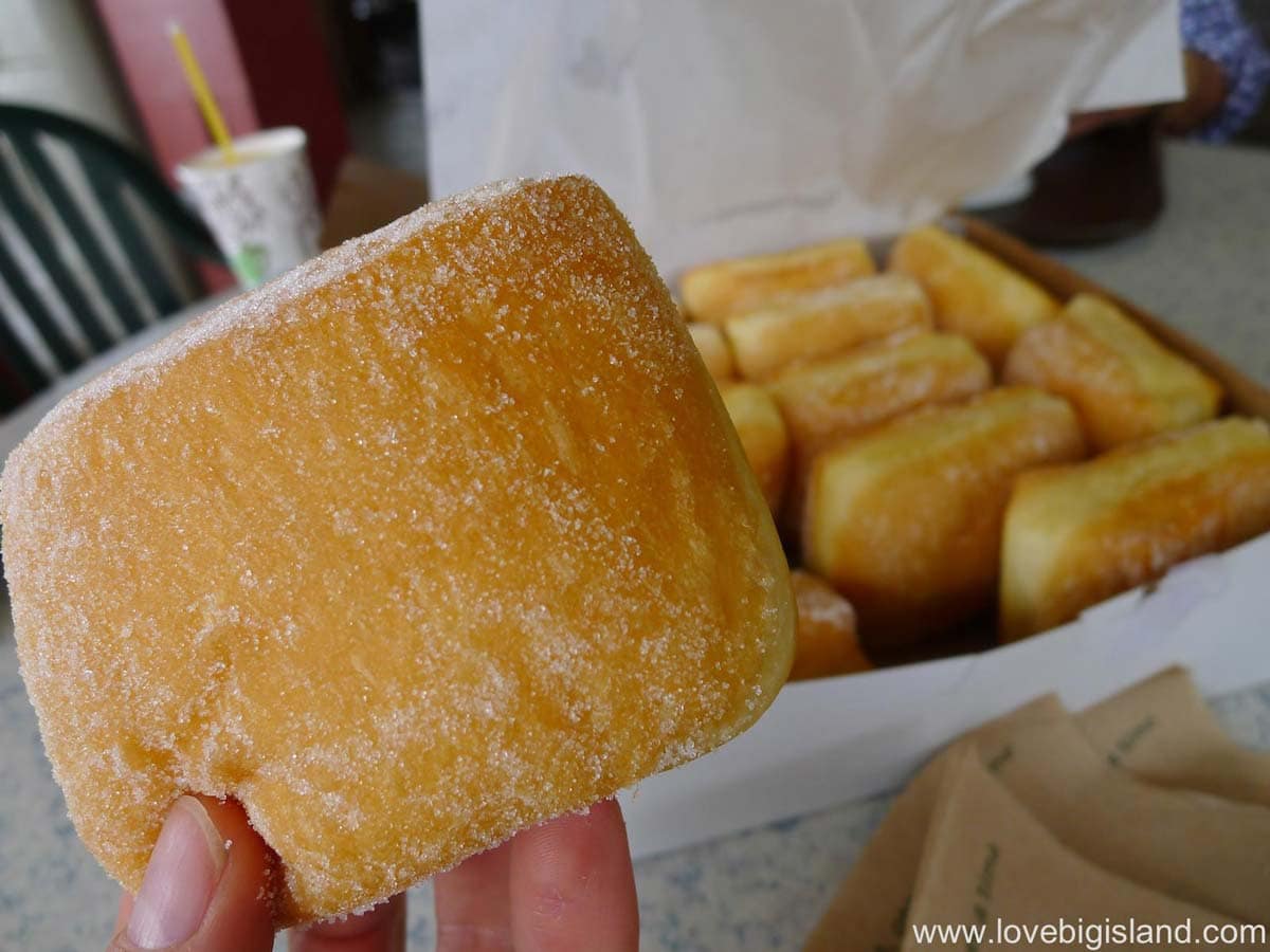
Malasadas (or malassadas) are Portuguese sugared and fried balls of fluffy yeast dough. They are bad for you but OH so tasty!
Which route to take for your trip
If you’re moving bases with luggage, take Saddle Road and drop the bags before you sightsee; our five-day itinerary has that mid-trip base move built in. With one base, drive north for a day of stops, and south only when the park is the destination. For a loop, take one coast road out and come back over Saddle Road.
After dark, take Saddle Road and slow down near the top, where fog closes in; the same goes for a late landing at Kona International Airport with a hotel in Hilo. Leave South Kona for daylight. Our guide to where to stay on the Big Island compares Kona and Hilo as bases. From a Hilo base, all three routes run in reverse, with the same distances and drive times.
Kona to Hilo drive: common questions
Answers on road safety, night driving, stops with kids and the bus.
Q: Is Saddle Road safe, and do I need a 4WD?
You don’t need a 4WD, and Saddle Road is safe in a standard rental car: it’s a paved two-lane highway. Only the Mauna Kea summit road above the visitor station needs 4WD, and most rental contracts forbid driving it. Our rental car guide shows which rental companies allow which roads.
Q: Can I drive from Kona to Hilo at night?
Over Saddle Road, yes: it’s paved the whole way. Watch for feral goats on the lower slopes toward Kona. Leave the southern route for daylight, because the South Kona stretch of Highway 11 is winding and has no street lights.
Q: Where can we stop with kids on Saddle Road?
Umekes Saddle Stop at the Gilbert Kahele Recreation Area sells food and has a playground and restrooms. At the Mauna Kea Access Road junction, the Puʻu Huluhulu loop trail is a 30-minute walk on a cinder cone. Our Big Island with kids guide lists more stops for families.
Q: Can I get from Kona to Hilo without a car?
Yes, on Hele-On, the county bus. Its Route 2, the Blue Line, runs between Hilo and Kailua-Kona over Saddle Road every day and is free to ride. Our Hele-On bus page has the Route 2 schedule. Uber and Lyft operate around Kona, Hilo, Waimea and Waikoloa and are scarce anywhere else.