The red road is the best scenic drive on the Big Island. It runs about 11 miles along the Puna coast through tree tunnels and past lava shoreline, with hot ponds and black sand beaches to stop at along the way. We have driven all five routes on this page; this is the one we come back to first.
The other four are Mauna Loa Road through koa forest above Kīlauea, the narrow Pepeʻekeo loop north of Hilo with its one-lane bridges, Chain of Craters Road descending from 4,000 feet to sea level inside Hawaiʻi Volcanoes National Park, and the Coffee Country loop through South Kona. Plan at least 2.5 hours for Chain of Craters if you stop where the road ends at the coast.
Table of contents
- Mauna Loa road scenic drive
- Kapoho Kalapana (red road) scenic drive
- Pepeʻekeo (Onomea) scenic drive
- Chain of craters road
- Coffee country (South Kona) scenic drive
If you like a road trip, the Road to Hana on Maui takes a full day, and there are four more scenic Maui road trips if you want them.
Big Island Scenic Drives: Map of All Five Routes
All five routes are mapped below. The red road and Chain of Craters Road both dead-end, so each one costs you the drive back out.
Details and map locations below last verified June 2026.
| Name | Min. Time | Distance | Location | Park Fee |
|---|---|---|---|---|
| 1Mauna Loa Road (Details ↓) | 2 hrs | 11.2 mi (one way) | Volcano Village | No |
| 2Red Road (Hwy 137) (Details ↓) | 1.5 hrs | 12 mi | Puna, near Hilo | No |
| 3Pepeʻekeo Loop (Details ↓) | 45 min | 4 mi | North of Hilo | No |
| 4Chain of Craters Road (Details ↓) | 2.5 hrs | 20 mi (one way) | Hawaiʻi Volcanoes NP | Yes ($30/vehicle) |
| 5Coffee Country Loop (Details ↓) | 2 hrs | 12 mi | South Kona | No |
1: Mauna Loa Road (Volcano Village): 11 Miles Above Kīlauea
Distance: 11.2 miles (one way)
Where is it? Follow highway 11 west from Volcano Village (towards Kona). Turn towards the mountain at the signposted exit to Mauna Loa road (between mile markers 30 and 31).
When to take: If you are staying at least one night in Volcano Village. Clear skies are a plus.
Recommended stops: The 1.2-mile loop at Kīpukapuaulu, the Bird Park (see map), and stop halfway up to look back to the Kīlauea Volcano. At the end of the road, a short hike west of the parking lot reaches endangered Mauna Loa silversword.
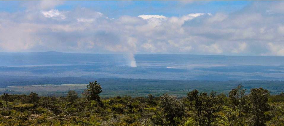
You can see the plume above the Halemaʻumaʻu crater in Hawaiʻi Volcanoes National Park during most of your drive up the scenic Mauna Loa Road. Image credits: Joey M. Gutierrez.
Mauna Loa Road climbs 11.2 miles up the flanks of Mauna Loa through old lava flows and koa forest, ending at the trailhead at over 6,000 feet. Stop halfway and look back: on a clear day you can see the Halemaʻumaʻu plume over the Kīlauea crater rim from above.
The Mauna Loa Road scenic drive is the only route on this page that you cannot use to go to another place on the Big Island. Instead, it takes you to the trailhead of the multi-day hike up Mauna Loa. The first few miles of the Mauna Loa Trail work as a day hike and turn back easily. The best views are on the way up.
Two trailheads and a picnic pavilion sit at the parking lot at the end of the road.
A 2018 brushfire burned about 700 acres of koa forest along this road, and you can still read it in the trees on the way up.
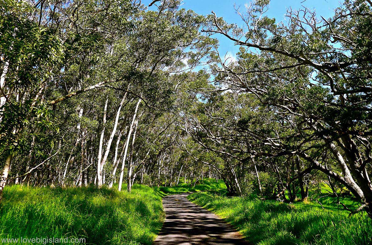
The Mauna Loa access road is an 11-mile scenic road climbing Mauna Loa up to over 6,000 ft.
2: Kapoho-Kalapana Road, the Red Road (Puna)
Distance: about 11 miles, dead-ending at Pohoiki
Where is it? Highway 137 between Kaimū beach and Pohoiki beach
When to take: While staying in Hilo or Volcano Village, e.g. when going to see the lava
Recommended stops: New Kalapana beach (Kaimū beach park), Pohoiki black sand beach (Isaac Hale Beach park).
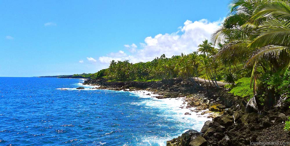
The Kapoho Kalapana road follows the shoreline. Pull over now and then to take in the scenery.
This is our favorite scenic drive on the Big Island. The road runs about 11 miles from Kalapana up the Puna coast and then stops dead at Isaac Hale Beach Park, where the 2018 flow cut it. North of there the old route to Kapoho is gone: roughly three and a half miles of it lie under lava, so you return the way you came.
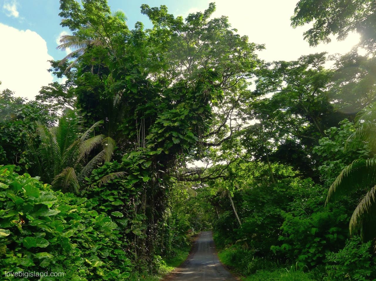
The Kalapana to Kapoho road, better known as the red road, running under one of its tree tunnels.
Kaimū is the south end of the drive, where lava overran the road in 1990. This lava also covered the original Kalapana black sand beach. After a short 15-minute stroll from Kaimū you can reach a black sand beach that formed after that flow. This is a good start or end point for the drive and gives a clear sense of the scale of destruction lava is capable of.
In the ‘town’ of Kalapana-Kaimū you can take a break and find a few vendors selling food, drinks, souvenirs and lava pictures.
If you want a preview of the most scenic part of this drive you can have a look at the following video, which shows the stretch of road between Pohoiki and Uncle Robert’s. Find your favorite spot and bring snacks for a stop there (make sure you park at an allowed and safe place).
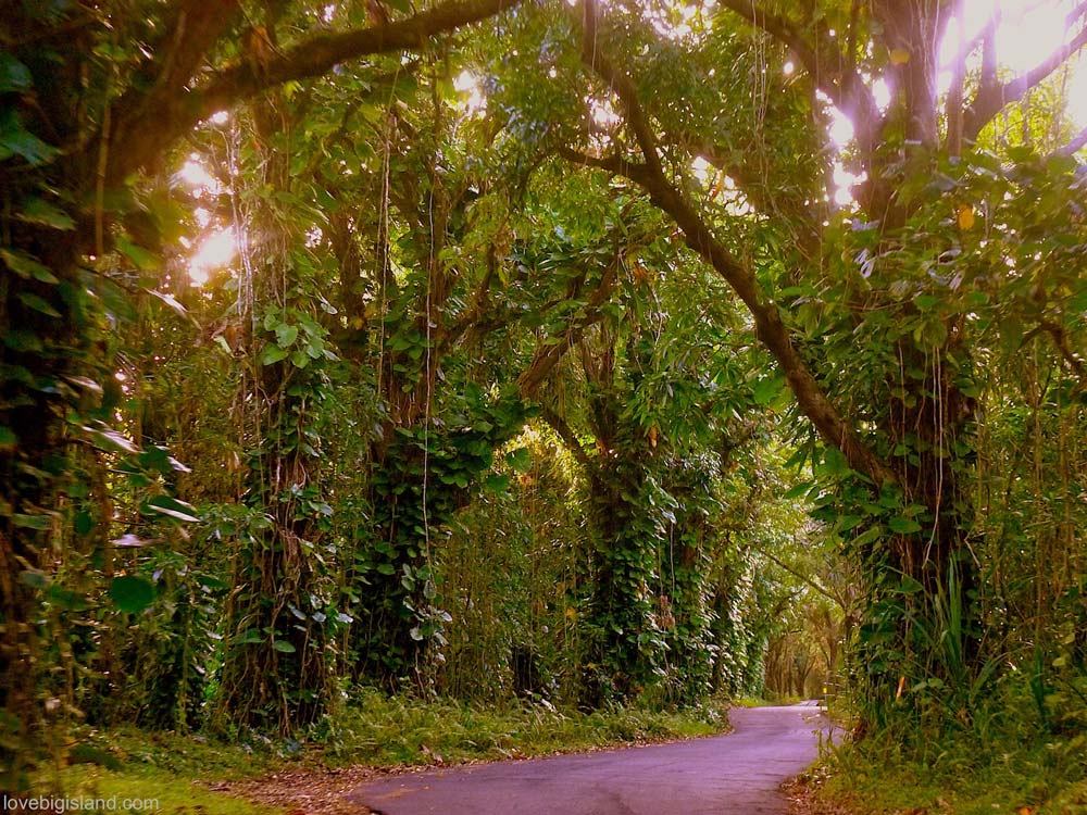
One of your views when driving along the Kapoho Kalapana road.
3: Pepeʻekeo Scenic Drive (Onomea Bay, North of Hilo)
Distance: 4 miles
Where is it? Follow highway 19 north of Hilo. Between mile marker 7 and 8 take the right-hand turn marked ‘scenic drive’.
When to take: When staying in Hilo, when visiting the ʻAkaka falls, or anytime you drive to or leave Hilo on highway 19 to the north via the Hāmākua Coast.
Recommended stop: the Hawaii Tropical Botanical Garden (website), $35 for adults, open daily from 10 am with last entry at 5 pm.
Suggested Extension: Kolekole Gulch Park: At the northern end of the drive, stop at Kolekole Gulch Park, where the stream meets the ocean under an old railroad bridge. A small waterfall feeds into the brackish stream, part fresh and part salt water, Depending on the tide and surf, ocean waves can roll up the stream, so check it before you get in. Otherwise it is a good spot to dip your feet or swim. Picnic tables and restrooms are available on site.
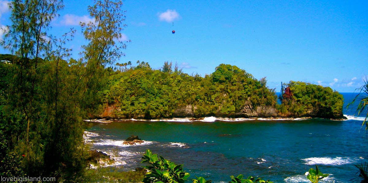
The view over Onomea Bay and the collapsed sea arch as seen from the Onomea scenic drive
The Pepeʻekeo scenic drive is a 4-mile stretch of the old Māmalahoa Highway north of Hilo. The road is narrow, with one-lane bridges and sharp curves; plan to drive it at 10-15 mph and stop where the road opens up to Onomea Bay.
The Hawaii Tropical Botanical Garden, midway through the drive, is the one stop here that needs real time. Set aside an hour. It holds more than 2,500 plant species across 17 acres, with over a mile of trails through them, and the walk is one of our favorite short hikes on the Big Island.
Drive slowly and with aloha.
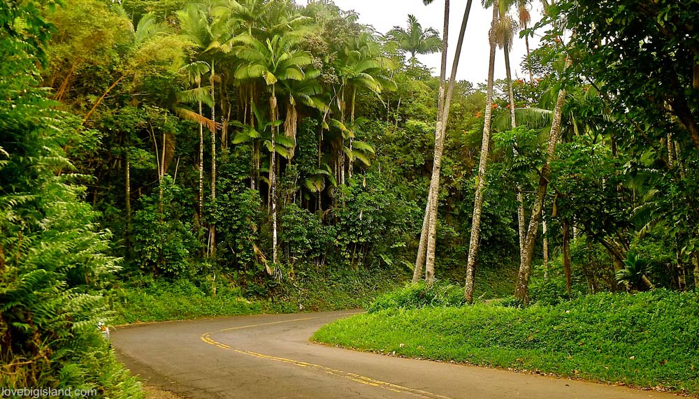
No reason to drive fast on the Pepeʻekeo scenic drive. Slow down and take in the views.
4: Chain of Craters Road (Hawaiʻi Volcanoes National Park)
Distance: 18.8 miles (one way)
Where is it? The Chain of Craters road is easy to find inside Hawaiʻi Volcanoes National Park. Follow the crater rim drive towards the south and follow the signs for Chain of Craters Road.
When to take: While visiting the Hawaiʻi Volcanoes National Park.
Recommended stops: At least one of the now inactive craters along the road, the Puʻu Loa Petroglyphs (if you are up for a few miles of hiking), the end of the road where the lava flows begin, and as many stops as you can fit for the views.
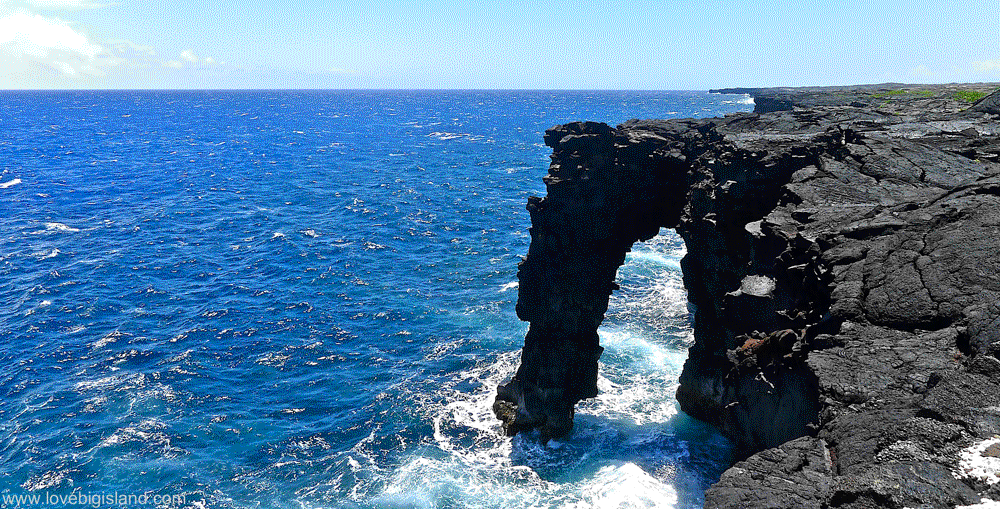
Drive down Chain of Craters Road in Hawaiʻi Volcanoes National Park to see the Hōlei Sea Arch, about 90 feet high where it juts out from the sea cliffs. The viewpoint sits roughly 1,000 feet past the gate at the end of the road.
Chain of Craters Road descends from 4,000 feet to sea level across the lava-covered flanks of Kīlauea, passing old craters and a large petroglyph field before ending where lava flows buried the pavement.
Plan at least 2.5 hours (round trip) for this drive, preferably more. You can spend a full day exploring all the sights along Chain of Craters Road. We like to make the drive early morning for hiking, or in the afternoon when the light at the end of the road is at its best.
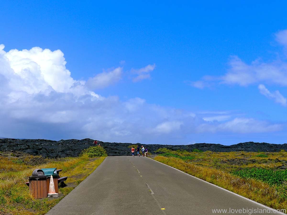
Chain of Craters Road ends where flows from the Puʻu ʻŌʻō eruption buried the pavement. Nearly nine miles of road lie under lava.
5: Coffee Country Loop, South Kona: Kealakekua Bay to Puʻuhonua
Distance: 12 miles
Where is it? Coming from Kona, follow highway 11 south until the junction with highway 160, just south of Captain Cook. Follow the road until you enter Nāpōʻopoʻo village. Here you can loop the scenic drive either by turning right (northwest) to first go to the Kealakekua Bay state historical park or by turning left (southeast) to first go to the painted church and Puʻuhonua o Hōnaunau National Park.
When to take: When visiting Kealakekua Bay (Capt. Cook) or Puʻuhonua o Hōnaunau National Park, when driving highway 11 between Kona and Volcano Village, when visiting green sand beach or when visiting coffee farms nearby.
Recommended stops: St Benedict Painted Church, Kealakekua Bay (Captain Cook) and Puʻuhonua o Hōnaunau National Park.
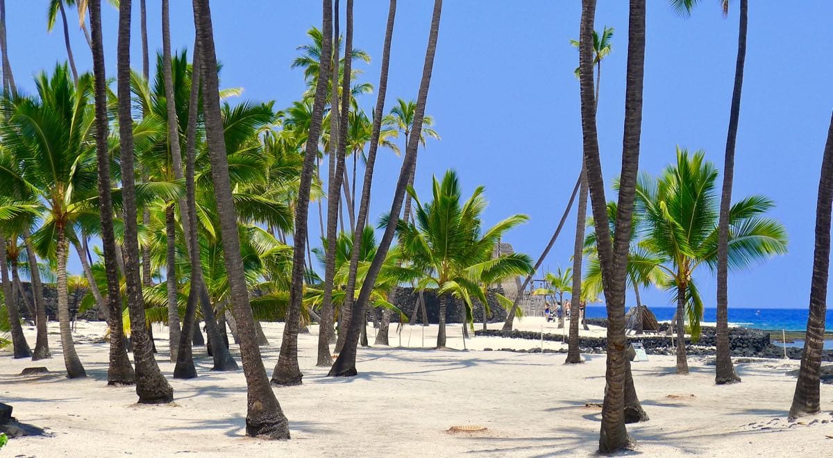
Puʻuhonua o Hōnaunau National Park is a good place to take in Hawaiian history. Next door, about 300 feet from the park entrance, is one of the best snorkeling spots on the island.
The Coffee Country loop drops below highway 11 into South Kona, where the landscape shifts from dry lava fields to forest and coffee farms within a few miles. The drive connects Kealakekua Bay and Two Step, two of the best snorkeling spots on the island.
Puʻuhonua o Hōnaunau is a National Historical Park and the main stop on the loop. The snorkeling entry sits just outside its boundary at Two Step.
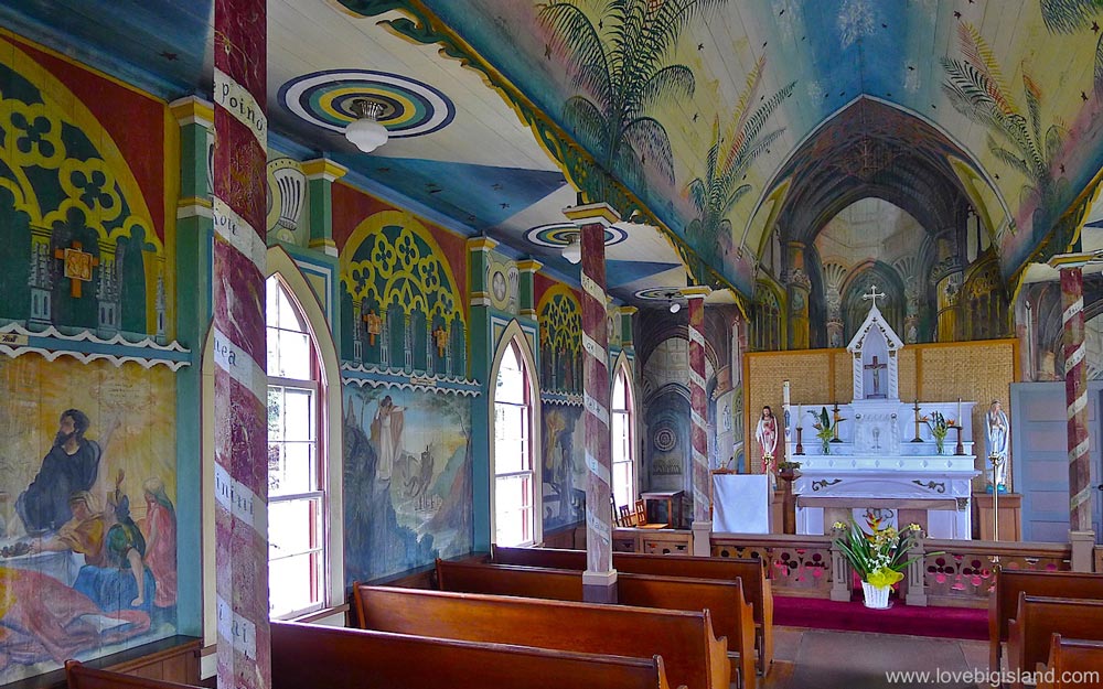
Interior of the Painted Church in South Kona on the Big Island of Hawaiʻi
GPS Audio Tours for Big Island Drives
GPS audio tour apps are available for a few dollars if you want narrated guidance for each stop. They work offline, so no data charges on the drive.
One example is the Shaka Guide app. For the Big Island they offer several self-guided driving tours including the Kohala Coast and Hawaiʻi Volcanoes National Park. Find all options on their website.